Spatial & Numeric Data Services
Providing access to cartographic materials, GIS and statistical data and software. We can assist with finding resources both within and outside our collection

Data & Statistics
Spatial and Numeric Data Services, Data and Statistics collects and provides access to aggregate data and Statistics Canada licensed microdata files.

GIS & Spatial Data
Spatial and data resources in our collection and freely available.

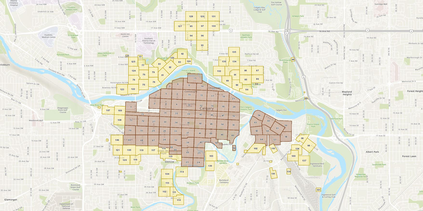
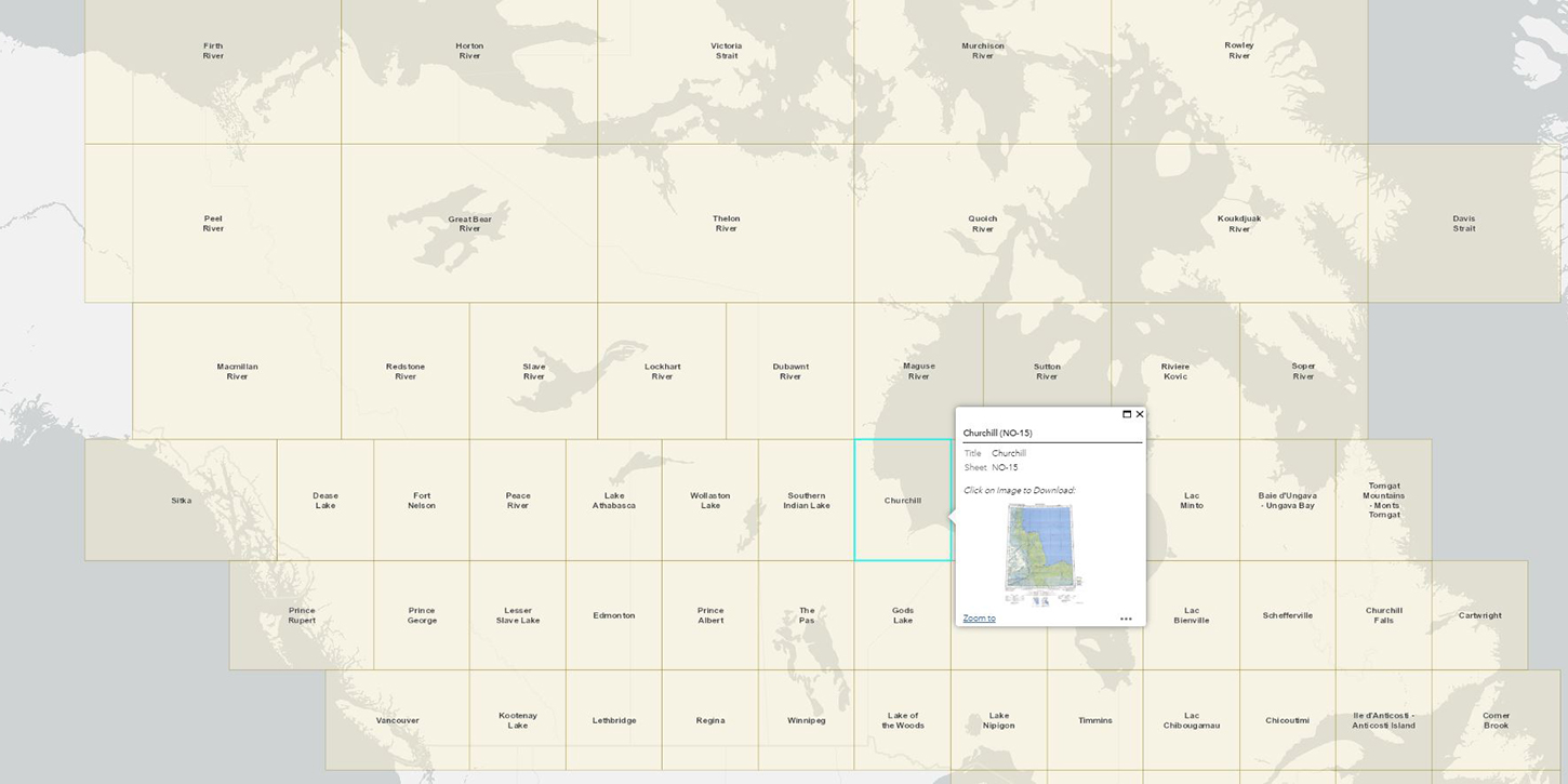
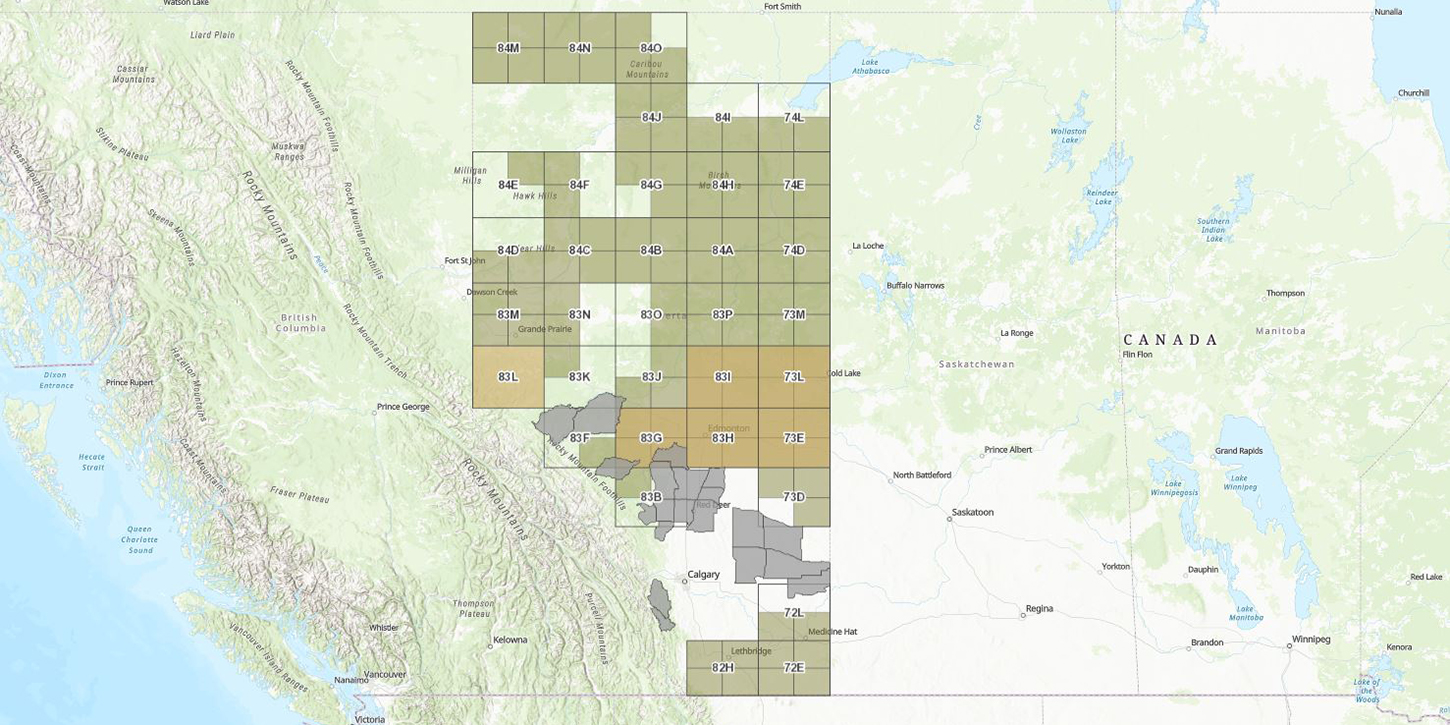
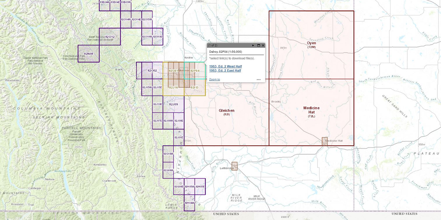
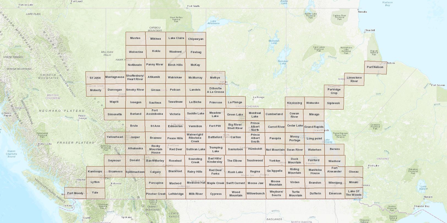
Maps
Our collection has over 200,000 print maps. Coverage is worldwide with emphasis on Calgary, Alberta, and Canada. Maps vary in scale, date, and theme. Major sets include the National Topographic Series (NTS) for Canada, Alberta resources, and City of Calgary topographic and community district series.

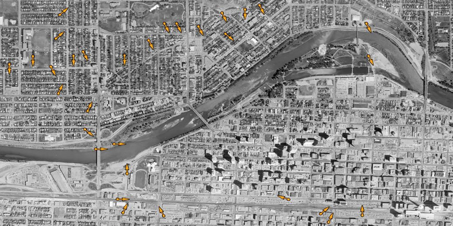
Air Photos
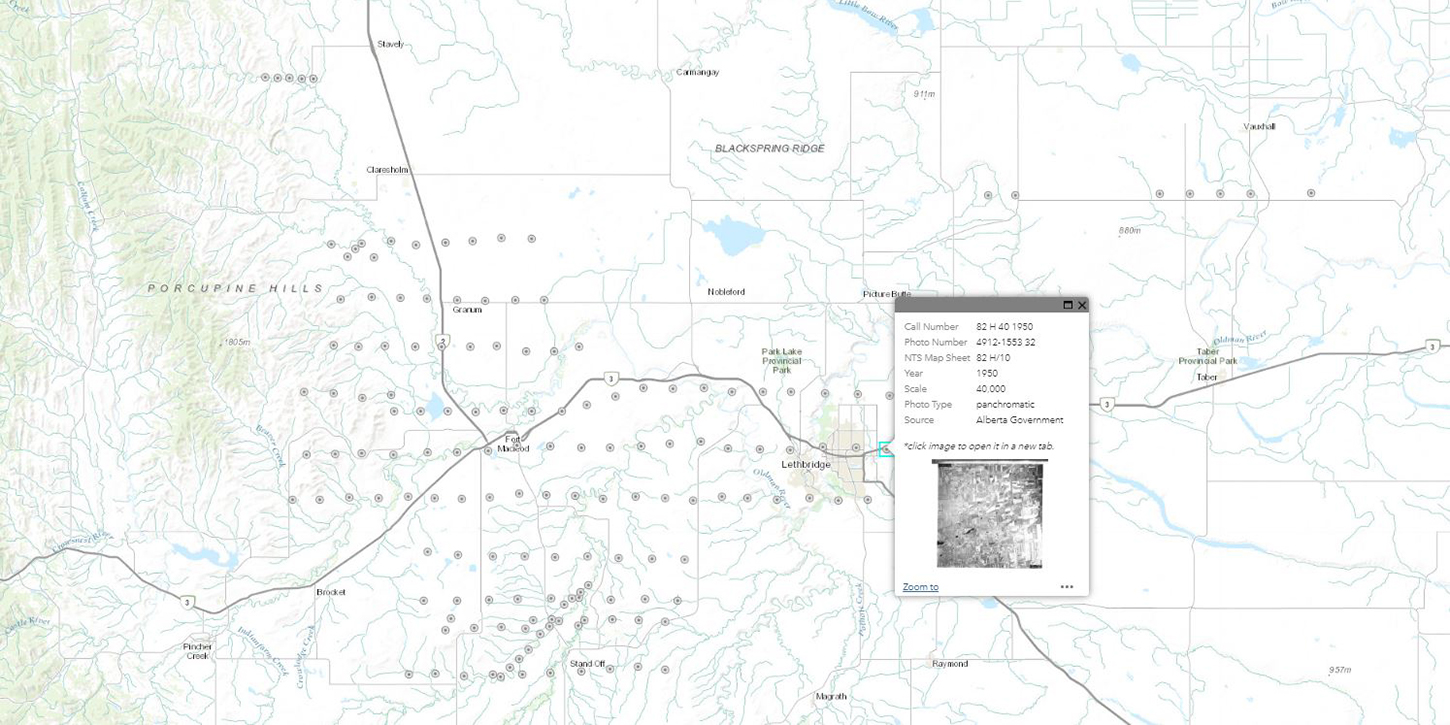
The collection includes about one million air photos, with Calgary and southern Alberta as the primary focus. There is less inclusive coverage for northern Alberta and other provinces and territories. Air photos are taken at various scales and years; Calgary coverage starts in 1924.
Please note: as of May 22 2018, SANDS will no longer circulate air photos. Scanners are available; please bring a data drive to transport files.
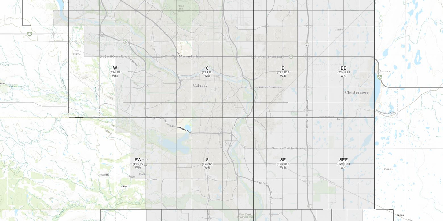
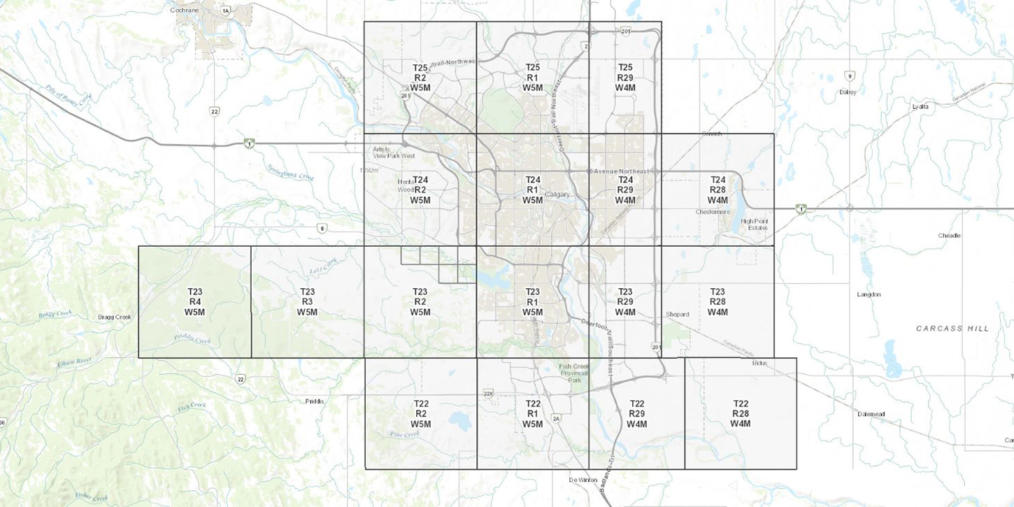
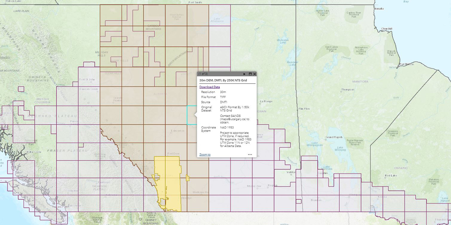
Interactive Maps and Apps
Hardware
- 3 Workstations
- 8.5" x 11" Scanner
- 11.7" x 16.5" Scanners
- 42" Wide Format Scanner
Software
- ArcGIS Pro 3.1
- AutoCAD 2020
- NVivo 12
- QGIS 3.16
- R 4.7
- SPSS 27
- StataSE 15
Contact Us
Location: TFDL 466
E: maps@ucalgary.libanswers.com
Hours
Mon-Fri: By Appointment
Sat-Sun: Closed